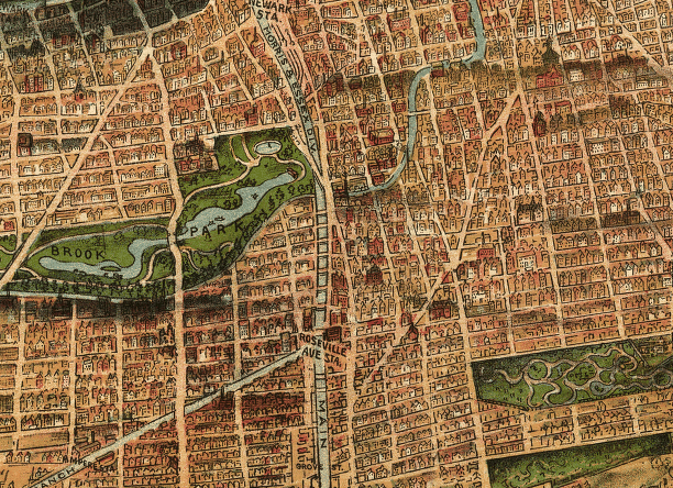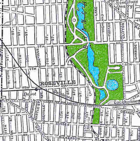
This is a detail from a 1904 map showing Roseville. I colored in the park just to be grand. You can see the rich folks' reservoir at the lower right (we remember the skating rink built there after it was drained) and the old Morris Canal running along the park's western border. This would later be the City Subway line, of course. Notice how No. Fourth Street apparently continued over the canal (just past Sixth Avenue) and into the park. |